.png?width=185&height=175&name=WGI%20Icon_Green%20(1).png)














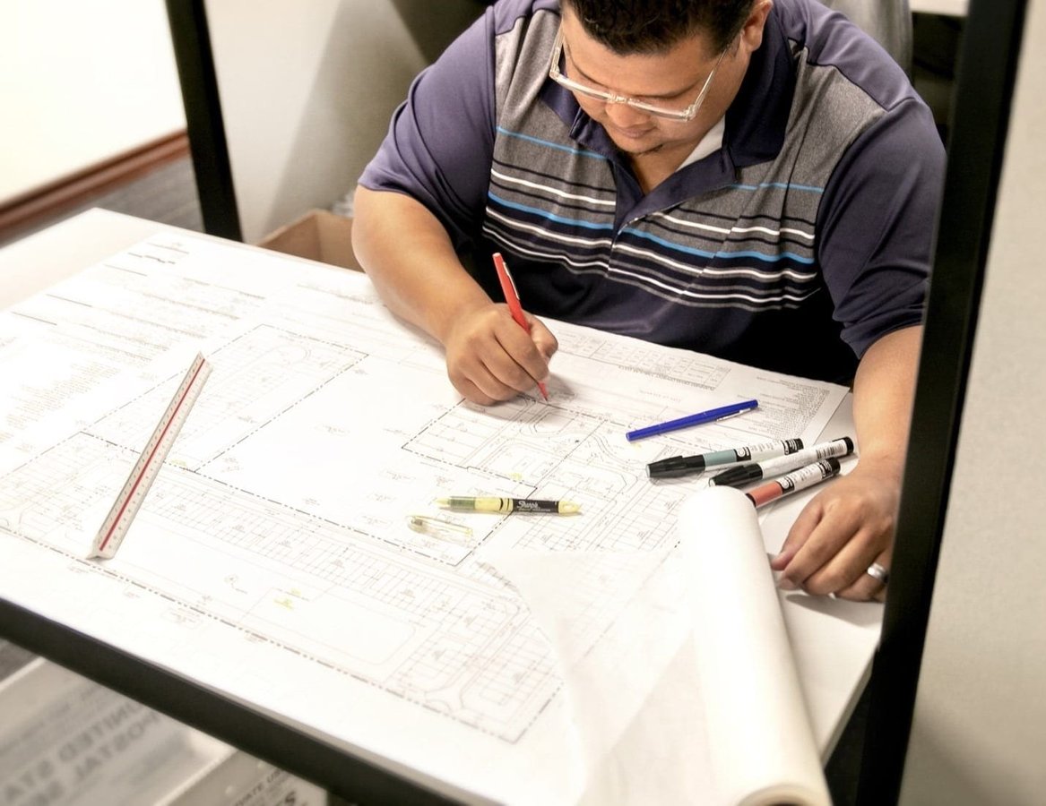
The ever-changing landscapes that surround us, whether urban or suburban, exurban or rural, are best described as – kinetic. Without doubt, our rapidly changing communities face incredible pressures and challenges ranging from the environmental to the technological and beyond. Our response and responsibility, as stewards of these evolving contexts, must be grounded in ethical and sustainable practices, while increasingly fueled by forethought and innovation.
At WGI, our decades delivering creative solutions to our clients, public or private, aid in establishing efficient and effective project designs and construction. Nevertheless, with the vast advances in AEC technologies, paired with the rising complexities facing our kinetic communities, we are tasked with advancing the field and challenging the status quo – from conceptual design and planning, to implementation and construction. This firm-wide philosophy reverberates across all service lines, stimulating transformation in our approach to land planning. Across the nation, scarcity of developable land, increased construction costs, shifting demographics and economies, and aging infrastructure are impacting development.
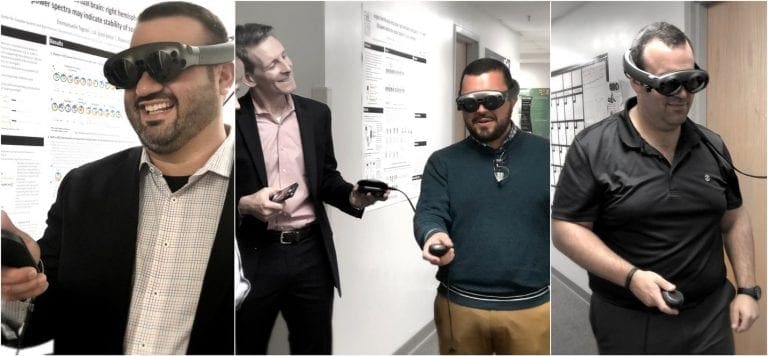
As residents become more engaged with the issues surrounding their communities, they often view land development with trepidation rather than equanimity. This long-standing dynamic between the development community and residents necessitates implementing creative and innovative methodologies. This is especially true as new technologies push the envelope on the project planning phase. As advances are made in the AR/VR space, 3D visualizations, spatial analytics, and research methods, the call to action for better processes is never greater.


 WGI’s Planning experts provide public and private clients alike with clear and responsible development strategies through policy and design. We can assist at all project levels from visioning, research, and analysis to design, project management, and implementation.
Contact us today if you'd like to have a conversation about your next planning project.
WGI’s Planning experts provide public and private clients alike with clear and responsible development strategies through policy and design. We can assist at all project levels from visioning, research, and analysis to design, project management, and implementation.
Contact us today if you'd like to have a conversation about your next planning project.
Where are we today?
In WGI’s Planning Division, it is an exciting time for new and emerging methodologies. Daily, we experience pressure to refine our methods and incorporate reimagined processes into how we design, plan, and implement projects. Recently, we used GIS to analyze the spatial distribution of indicators seen as favorable for workforce housing development in Palm Beach County. These indicators range from community assets and points of interest to conducive drive-time and walk-time sheds with adequate facilities and services in the opportunity sites’ vicinity. We used this “proximity and accessibility” index to create a weighted grading scale for the clients’ three properties, with one ultimately selected the most suitable for workforce housing units. In the end, this analysis helped our client move his development program forward while introducing a new site suitability and selection methodology at WGI. The yield of this analysis was two-fold; first, we expanded our breadth of due diligence services by utilizing and incorporating GIS, bridging the gap between speculative prospecting and traditional financial modeling. Second, it was well-received by Palm Beach County’s long-range planning staff and seen as thoughtful basis for future policy formulation surrounding workforce housing development.
Ideas for Tomorrow
The possibilities are truly endless for new applications and reconceptualized solutions for our diverse client-base, given the technological advances made in urban and community planning, and land development. Automation integration into 3D spatial visualization tools, paired with AR & VR outputs, helps imagine a near future where the deployment of our design solutions become real-time cloud-based visualizations. Not only would this platform encompass a host of conceptual designs for graphic purposes, but function as an intelligent model that evolves through the life of the project. More importantly, this platform could facilitate the execution of new forms of quality control and analysis. With 3D and VR/AR environments at our disposal, a projects’ quality control would truly bridge the gap between conceptual design and final construction or implementation.
WGI’s Planning experts provide public and private clients alike with clear and responsible development strategies through policy and design. We can assist at all project levels from visioning, research, and analysis to design, project management, and implementation.
Contact us today if you'd like to have a conversation about your next planning project.